Explore Antarctica with Gigapan Technology!
Gigapan is a robotic camera (used by both NASA and Google) that takes a patchwork of images, meshes them together, and creates a highly interactive panoramic image for you to explore!
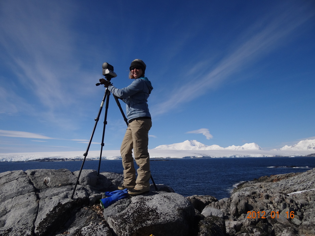
Above I am using a Gigapan to take a 360 degree image of Antarctica from Torgerson Island (see image below). I want to thank Paul Queior for his assistance with using this incredible technology at Palmer Station.
How to Explore the Gigapan Image
Step #1: Go Full Screen

Notice that your pointer changes to a hand as you move it across the Gigapan image below. Click the "fullscreen" icon shown here.

Step #2: Navigate the Image
Use the dial to navigate the image. The arrows help you to move up, down, left and right. The + and - buttons help you to zoom in and out.

Step #3: Take a Virtual Tour!
Double click the hand on an area that you would like
to explore. Once it focuses, you can double click
again to get a closer look at it. Use the dial to continue
to navigate the image.
Double click the hand on an area that you would like
to explore. Once it focuses, you can double click
again to get a closer look at it. Use the dial to continue
to navigate the image.
Go on a Gigapan Scavenger Hunt!
Locate the following items within the Gigapan image above. When you find all 10 challenges, leave me a message on the blog. I'll add your name to the Gigapan Wall of Fame!
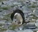
Challenge #1
Adelie Penguin
Challenge #2
Cape Renard
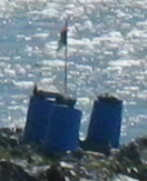
Challenge #3
Emergency Caches
Challenge #4
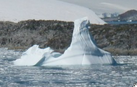
Iceberg
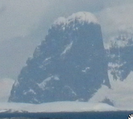
Challenge #5
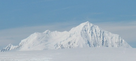
Mt. William
Challenge #6
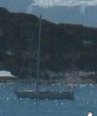
Sailboat
Challenge #7
Geological Survey Marker
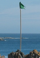
Challenge #8
Boundary Flag
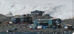
Challenge #9
Palmer Station
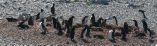
Challenge #10
Adelie Penguin Colony
 RSS Feed
